News
Spatial AI for Built Environment at HKSTP: our takeaways
Published
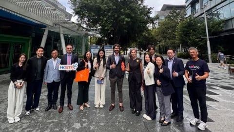
Aili Sui, Business Development Executive at Kodifly, attended Spatial AI for Built Environment, a half-day session organised by Hong Kong Science and Technology Parks Corporation (HKSTP) on Friday 6 November 2026. It ran from 3 pm to 5:30 pm at the Service Centre, 2/F, Building 19W, Hong Kong Science Park, one floor below Kodifly’s own office.
The event
The session looked at how spatial AI and data from Hong Kong’s Common Spatial Data Infrastructure (CSDI) are changing the way the city is planned, built and managed. Speakers came from HKSTP, the Development Bureau, the Civil Engineering and Development Department, the Planning Department and industry. The programme, held in Cantonese, covered:
- GeoCommunity Corner, with HKSTP and the Development Bureau
- Spatial AI + Construction, with applications from CEDD
- Spatial AI + Town Planning, with the Planning Department and Anavision
- Spatial AI + Urban Design and Renewal, on feasibility decisions with Metason
- A panel on how spatial AI contributes to a digital twin city
What we took away
One message stood out: data is at the heart of AI innovation. Hong Kong already holds a wealth of government spatial data, and CSDI makes it easier for every industry to reach and reuse.
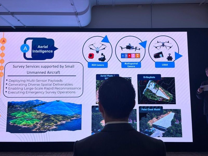
The talks showed how that data turns into real applications. GeoCommunity Corner shares community spatial information, and an “AI City Brain” connects departmental systems for smarter urban management. LiDAR, 3D point clouds and BIM are being used to monitor slopes and infrastructure. Speakers also showed AI being used for land-use change detection, unauthorised development and environmental monitoring. Across construction, planning and environmental management the conclusion was the same: AI only works in the real world on high-quality spatial data that is kept up to date.
Why it matters to Kodifly
That is the problem Kodifly works on at the site end. Using 360° imaging, LiDAR and 3D point clouds, we capture high-precision site data, build 3D models and digital twins and apply AI to turn them into findings a team can act on, from slope inspections and maintenance assessments to infrastructure monitoring and spotting unauthorised works. SpatialSense keeps each capture as a dated 3D record that can be compared over time and checked against the BIM model.
The value of data goes beyond making it available: it lies in keeping it current, sharing it and building on it. Alongside open resources such as CSDI, Kodifly wants to contribute its own spatial data and technology, working with government and industry partners on Hong Kong’s innovation ecosystem.
Thank you to HKSTP and to all the speakers and panellists for their insights.
If you work on spatial data or digital twins for public works, talk to us.