
Industries
AI for urban management and public safety
Kodifly's computer vision, drone mapping and dated records help city and public bodies inspect street-level assets, signage and public estates at scale, and keep the evidence for every finding.
What the AI does in the city
Signboard detection
Computer vision finds and logs signboards from imagery, so inspectors review a list instead of searching every street.
Drone survey and mapping
Drone flights give a dated model of an estate or site, compared from one flight to the next.
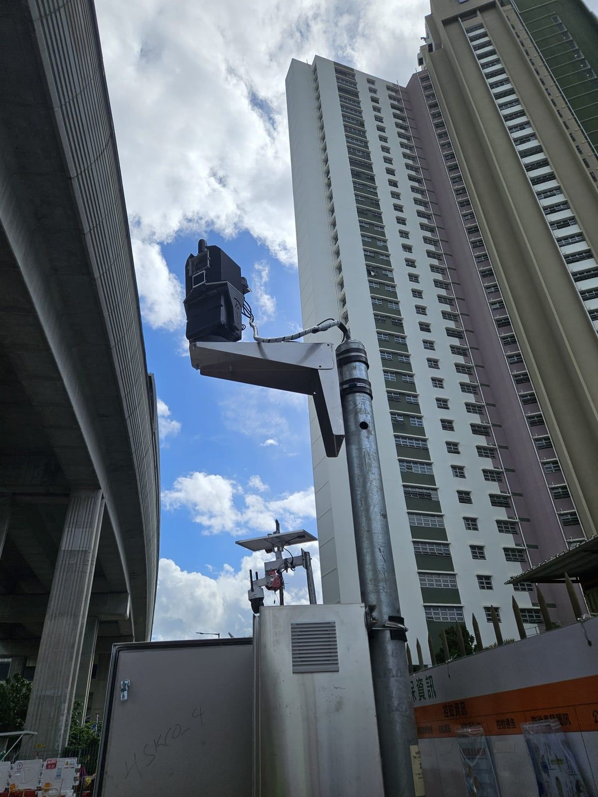
Intrusion and perimeter watch
AI detection flags people or objects entering a defined zone, with a dated record.
A searchable record
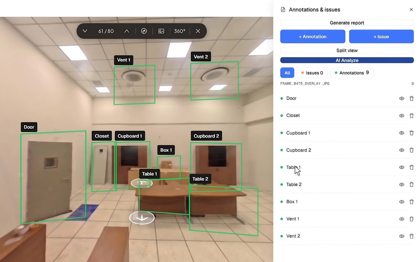
Findings, photos and inspections are held on a map and can be searched in plain language.
Review findings, not footage.
The AI tags what it finds and places it on the map. Your officers review the list, confirm what matters and keep the dated evidence.
- Every finding has a date and a position.
- Reports are drafted by the AI and reviewed by your team.
- Works with 360 cameras, drones and fixed LiDAR.
Tell us what you inspect
Describe the assets, the area and how often you inspect. We will show how the AI would handle it.