
Industries
Monitor slopes and the environment with AI
Kodifly's LiDAR and software monitor slope gradient, flexible barriers, excavation volume and environmental readings, and tie every alert to a dated measurement, so public bodies can show what moved, when and by how much.
What we monitor
Slope gradient
Software that tracks the gradient of a slope over time from LiDAR scans and flags change.
Flexible barriers
Monitoring of flexible barriers on hillsides, so movement or loading is recorded with a date.
Excavation volume
Volume monitoring of excavation and earthworks from repeated scans.
Environmental readings
Environmental monitoring brought onto the same dashboard as the site record.
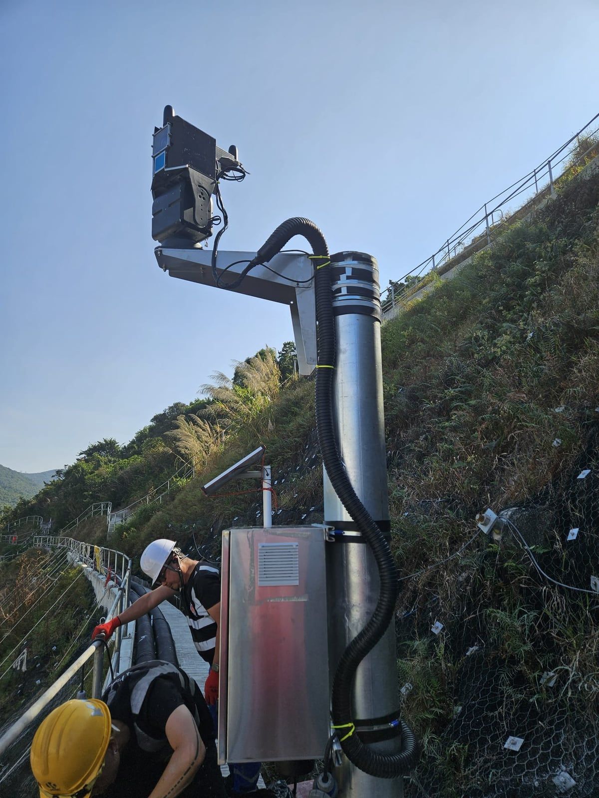
A fixed unit above the hillside.
A ScanStation LiDAR unit and equipment cabinet on a pole watches the slope day and night. Each scan is compared with the last and the change is logged.
- Centimetre-level georeferencing.
- Alerts tied to dated measurements.
- Installed and supported by Kodifly engineers.
Track record on slopes and environment
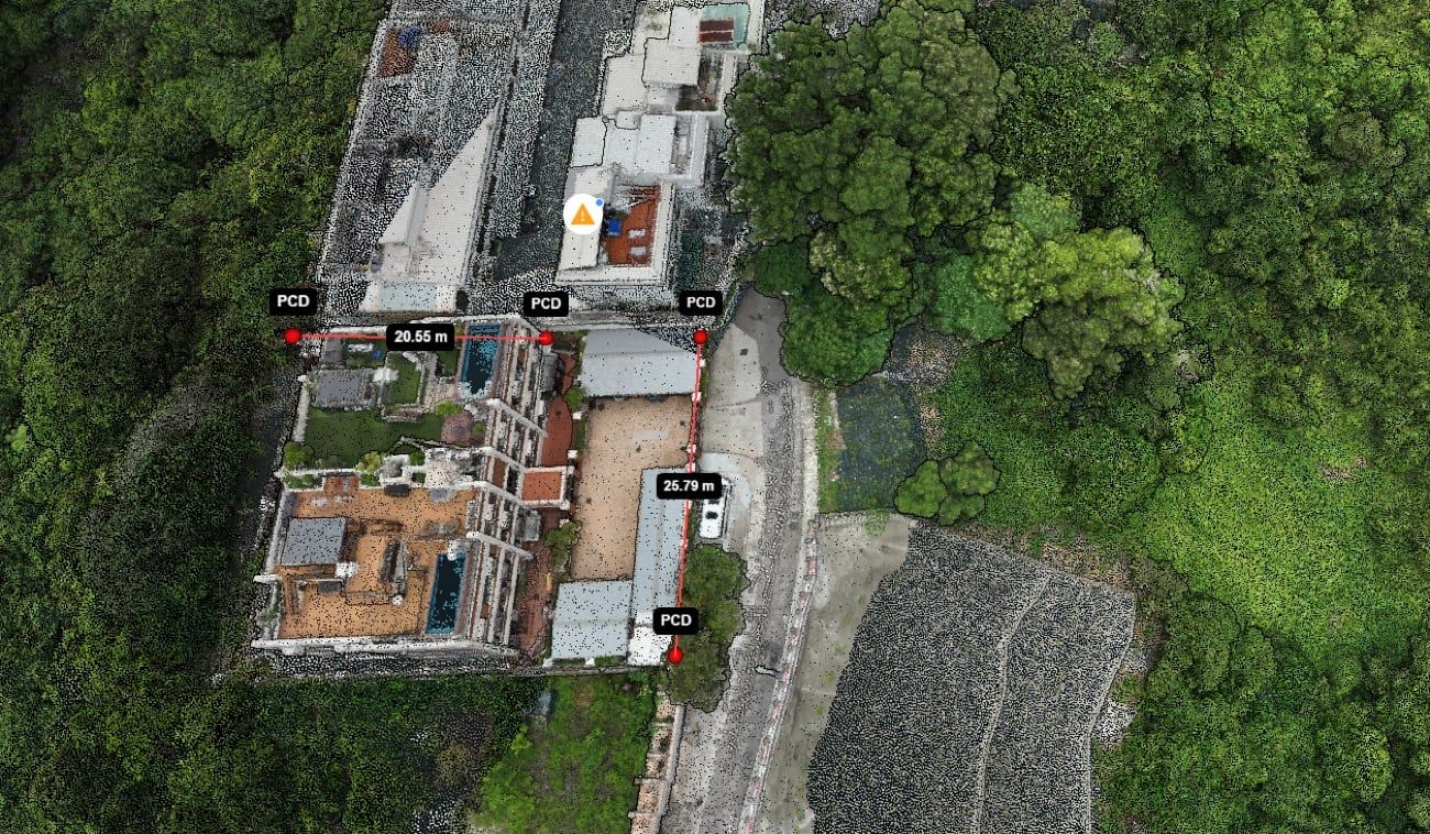
Slope and environmental work we have delivered for Hong Kong government departments, by scope.
| Department | Scope |
|---|---|
| CEDD | Slope gradient monitoring software |
| DSD | Environmental monitoring and excavation-volume software |
| GEO | Flexible barrier monitoring |
Show us the slope
Tell us the site, the risk and who needs the alerts. We will show how a dated record would work for it.