
Hardware
A fixed LiDAR eye on the whole site
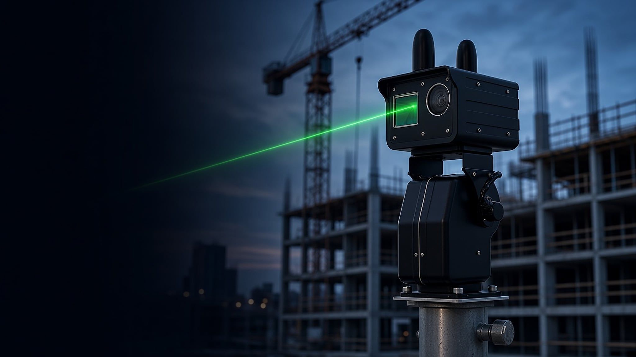
ScanStation K4DL-1000 mounts on a pole, tower crane or other fixed structure and captures colourised, georeferenced point clouds of a site or asset over time, so the AI can watch for movement and raise an alert. It is also the 4D LiDAR data DEVB's Co-supervision Platform (SmartEye) relies on, and Kodifly has fitted it on approximately 20 Hong Kong public works contracts.
How it works
It stays put and watches the same ground.
The unit looks at one area again and again. Comparing the scans over time gives the point-cloud video the Co-supervision Platform asks for.
- Mounted on poles, tower cranes or other fixed structures.
- Real-time colourised point clouds with centimetre-level georeferencing.
- IP65 housing for site conditions.
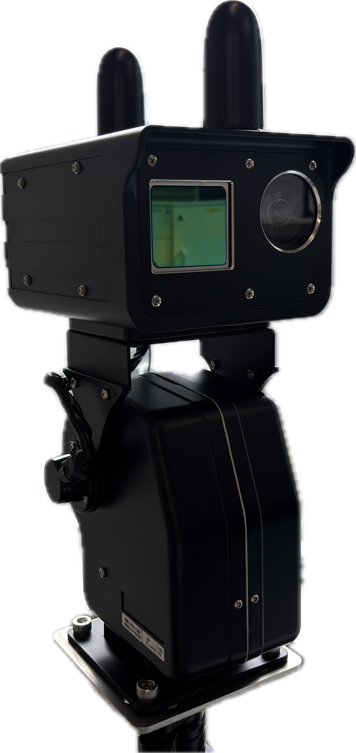
ScanStation K4DL-1000.
Key specifications
Values as published by Kodifly. A full datasheet is available on request.
- Model
- ScanStation K4DL-1000
- Type
- Fixed-point LiDAR for sites and assets
- Range accuracy
- ±2 cm (1σ)
- Absolute accuracy, as installed
- 8 cm or better as RMSE against at least 10 RTK checkpoints, as the CSP Particular Specification A1 1.1(f) requires
- Output
- Real-time colourised point clouds
- Georeferencing
- Centimetre-level
- Ingress protection
- IP65
Where ScanStation fits
TC(W) No. 1/2026
Fixed-point capture for the Co-supervision Platform
The circular describes producing the Video of Point Cloud by mounting LiDAR on fixed poles, tower cranes or other non-movable objects. That is the role of ScanStation.
Coverage
Pairs with fixed-route drone LiDAR
Where a fixed unit has blind spots, drone LiDAR flown on a set route fills them. The two are planned together for a site.
Installed on site
Kodifly LiDAR units on tower cranes, poles and public works sites.
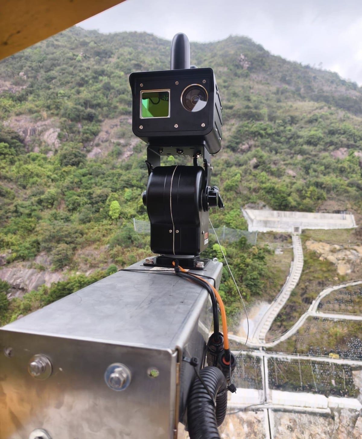
ScanStation on a pole at a public works site. 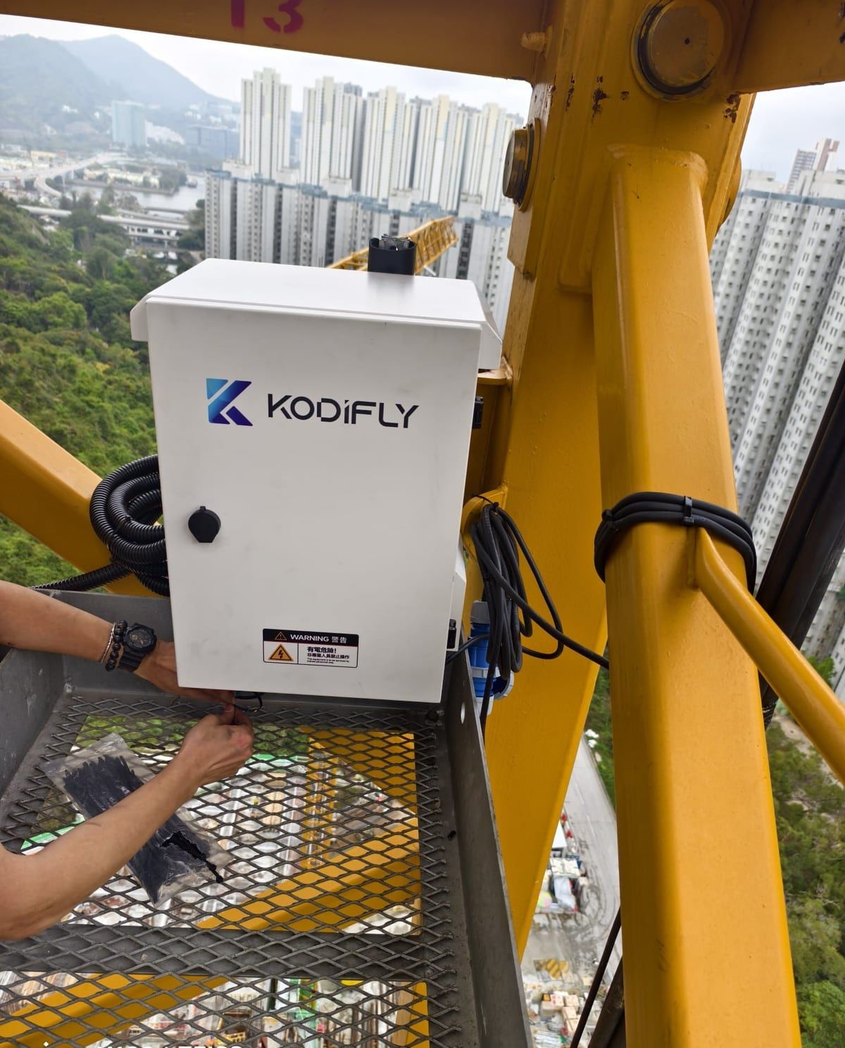
Site unit being installed on a tower crane. 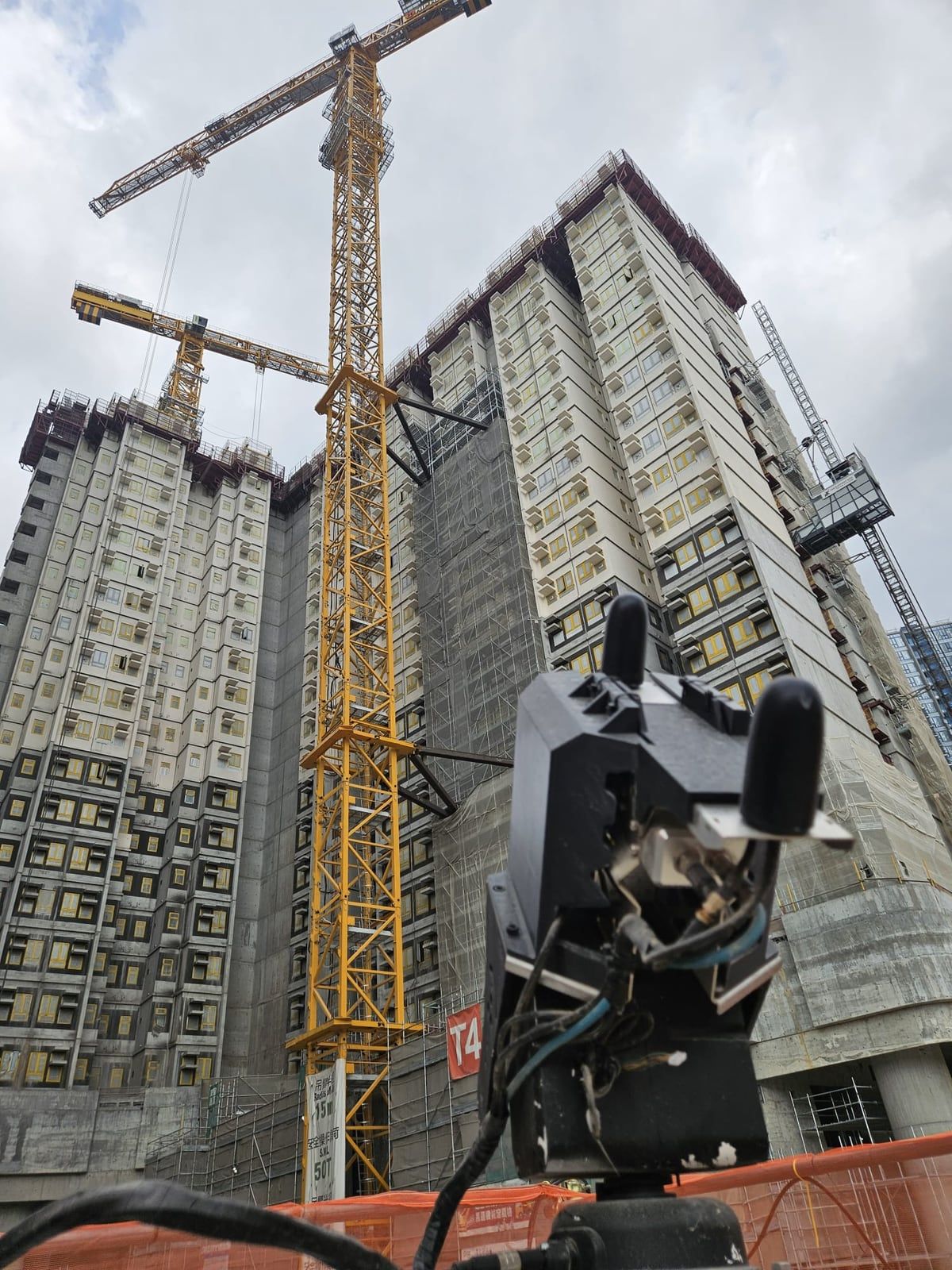
Fixed-point LiDAR facing residential blocks under construction. 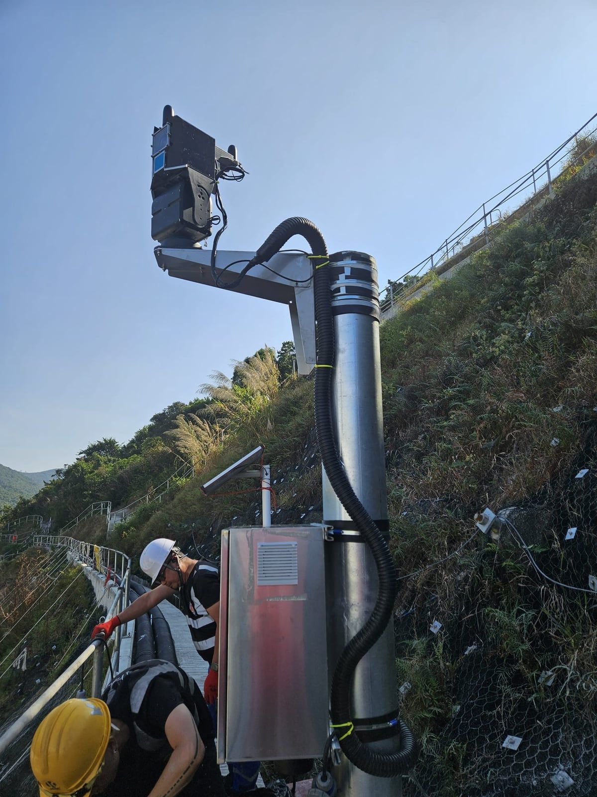
LiDAR unit and equipment cabinet on a pole at a public works site. 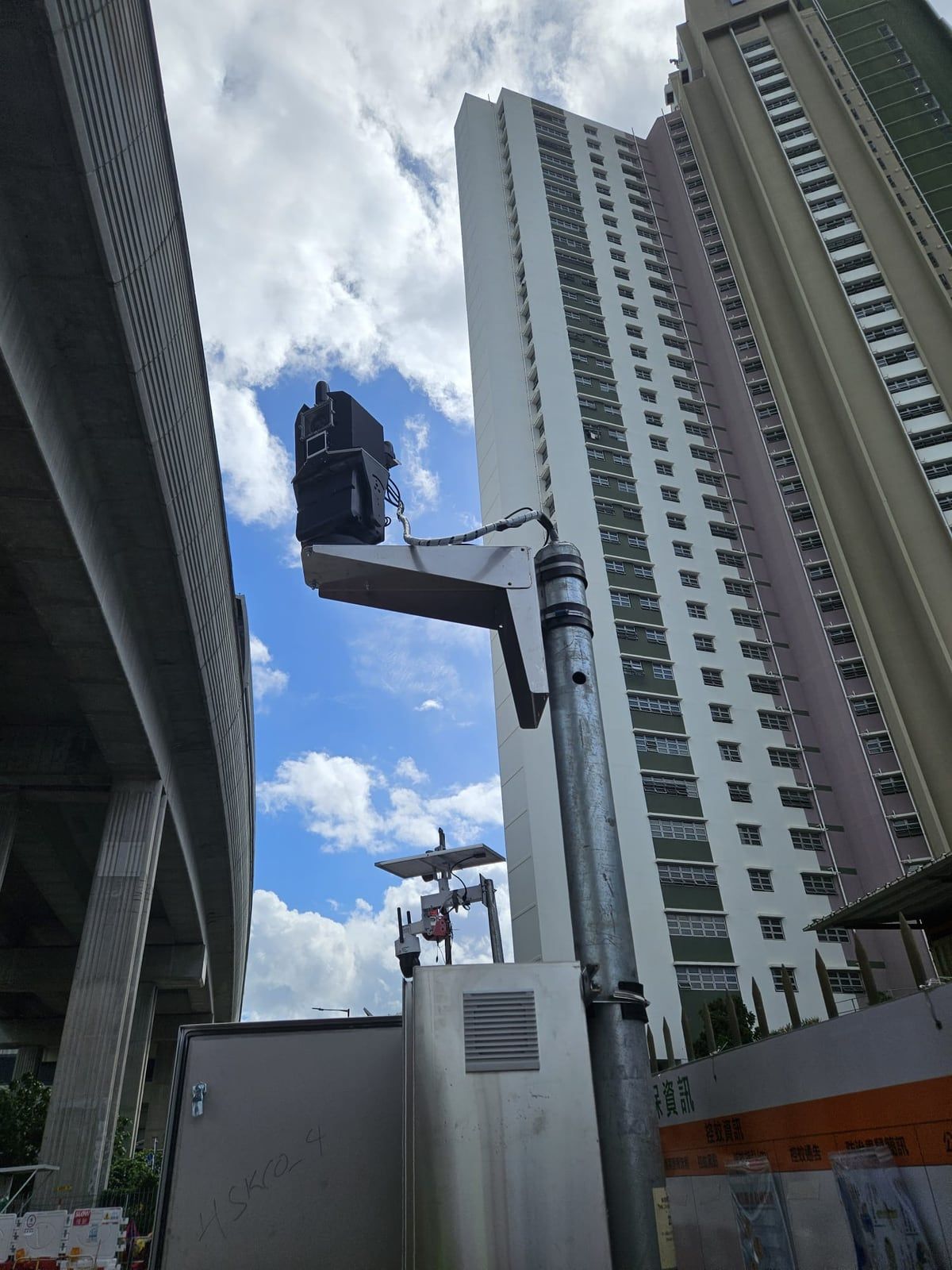
LiDAR unit on a pole beside a flyover and a housing estate.
LiDAR capture in the DWSS
TC(W) No. 8/2025
Digital Works Supervision System
LiDAR captures are stored alongside the dated DWSS record. The hardware itself is not part of the DWSS (TC(W) No. 8/2025, footnote 2).
Health checks for every station.
Each ScanStation reports tamper alerts within 5 seconds, its four-SIM bonded uplink, UPS runtime and export settings, so a fault shows before a scan is missed.
ScanStation questions
Is ScanStation part of the DWSS?
No. Under TC(W) No. 8/2025, footnote 2, the DWSS collects and consolidates data from smart site applications, but the applications themselves do not form part of the DWSS. ScanStation captures are stored alongside the DWSS record, and the unit is site capture for the Co-supervision Platform under TC(W) No. 1/2026.
How accurate is ScanStation?
ScanStation's range accuracy is ±2 cm (1σ). As installed, a qualified surveyor checks at least 10 RTK checkpoints and the system delivers absolute accuracy of 8 cm or better as RMSE, as the CSP Particular Specification A1 1.1(f) requires.
What does fixed-point capture mean?
The LiDAR stays in one place, on a pole, tower crane or other non-movable object, and observes the same area repeatedly. Comparing scans over time gives the 4D point-cloud video described in the circular.
Where can I get the full datasheet?
Ask us through the contact page and we will send it.
Plan ScanStation placement for your site.
Tell us the site and the works type. We will advise where fixed-point units and drone routes should cover.