
Industries
Watch rail and transport corridors with AI
Kodifly's LiDAR and AI monitor rail and transport corridors for tree intrusion, vegetation, landslide risk and change, and raise alerts tied to dated measurements, so operators act on evidence rather than waiting for the next inspection.
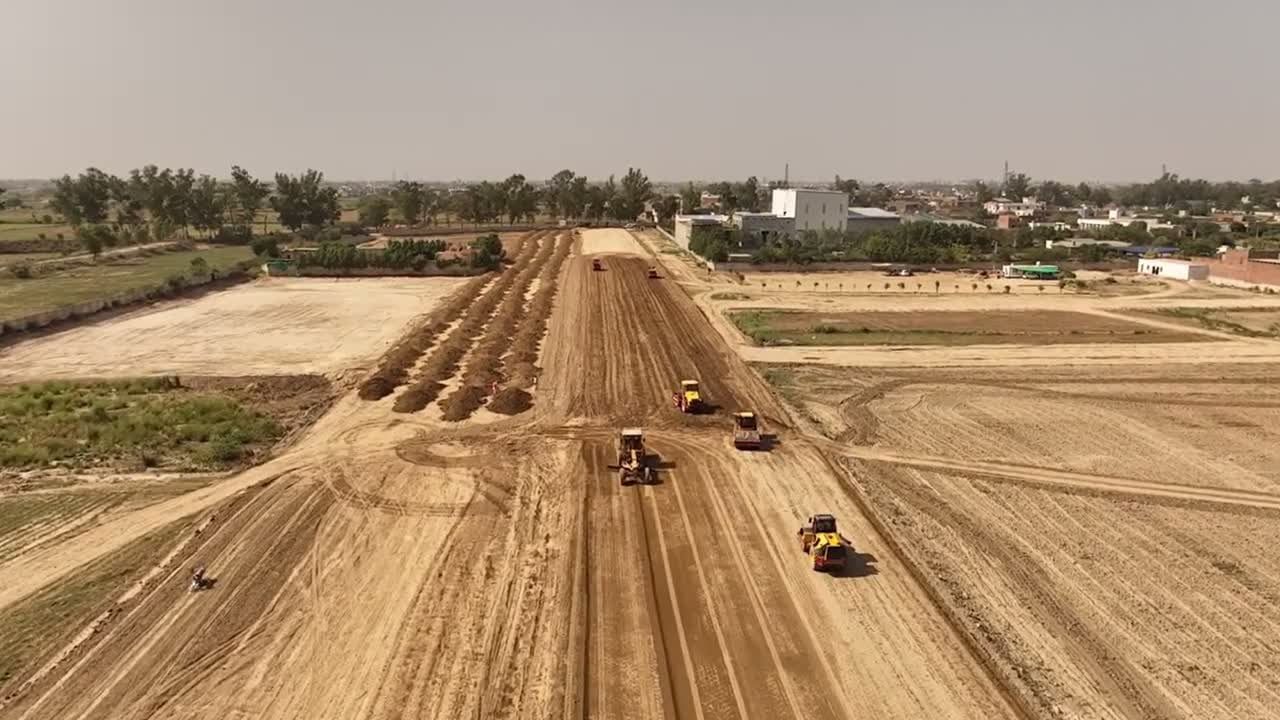
What the AI does along a corridor
Vegetation and tree intrusion
LiDAR measures how close trees and growth are to the line and flags the spots that need clearing.
Landslide detection
AI watches slopes beside the track for movement and raises an alert with the dated evidence.
Alerts from moving equipment
LiDAR carried on rolling stock turns each run into a measurement that can be compared with the last.
From a corridor run to an alert.
Capture
Fixed LiDAR, drone flights or equipment-mounted sensors record the corridor, each capture dated and placed on the map.
Compare
The AI lines up the same position on two dates and lists what changed.
Alert
When change crosses a threshold, the right person gets an alert tied to the measurement.
Report
Findings go into one dated record and a report drafted for your engineers to review.
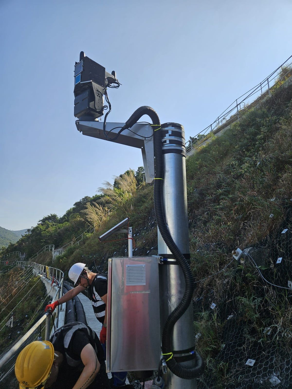
Always-on where a walk is not safe or practical.
A fixed ScanStation unit watches the same ground day and night, so change is seen overnight rather than at the next visit.
- Weatherproof hardware made by Kodifly.
- The same view in any light.
- Drone LiDAR fills any blind spots.
Tell us the corridor
Describe the line, the risk and what you need to evidence. We will show how a dated record would work for it.