
Capabilities
A dated digital twin of any asset
Kodifly places every walk, flight and scan on the plan with its date, so an asset has one record that can be compared over time, overlaid with its BIM model and searched in plain language.
Every capture has a date and a place.
360 walks, drone flights and LiDAR scans land on the floor plan or map, so you can open the same position on two dates and see the change.
- Two dates compared side by side.
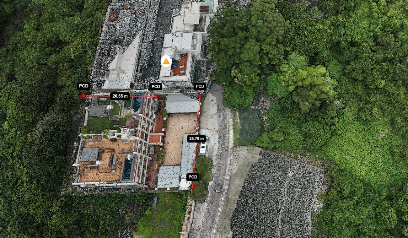
- Point clouds measured on screen.
- Findings and issues pinned where they were found.
What the record includes
Where digital twins are used
See your asset as a dated record
Send two walks of the same site and we will return a sample AI report.