
Industries
Spatial AI for the assets governments run
Kodifly's AI, LiDAR and digital twins help public bodies and operators see, measure and monitor physical assets, from plants and tunnels to rail corridors, slopes, city infrastructure and public works. One dated record, whatever the asset.
Choose your industry
The same AI and the same dated record, applied to the assets you are responsible for.
Facilities
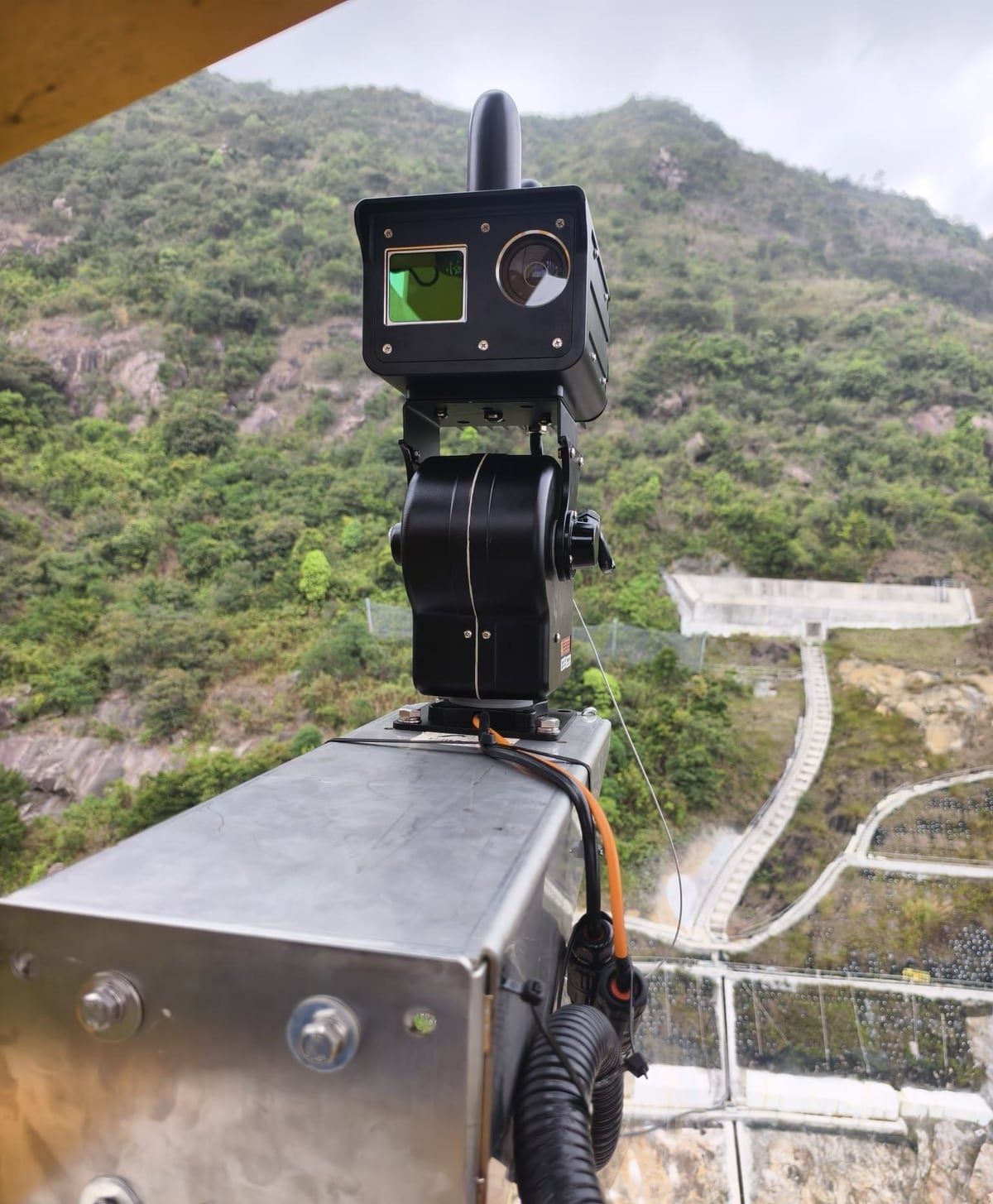
Assets and facilities
Fixed LiDAR and AI that watch plants, pumping stations and tunnels, and keep a dated record of every change.
Energy
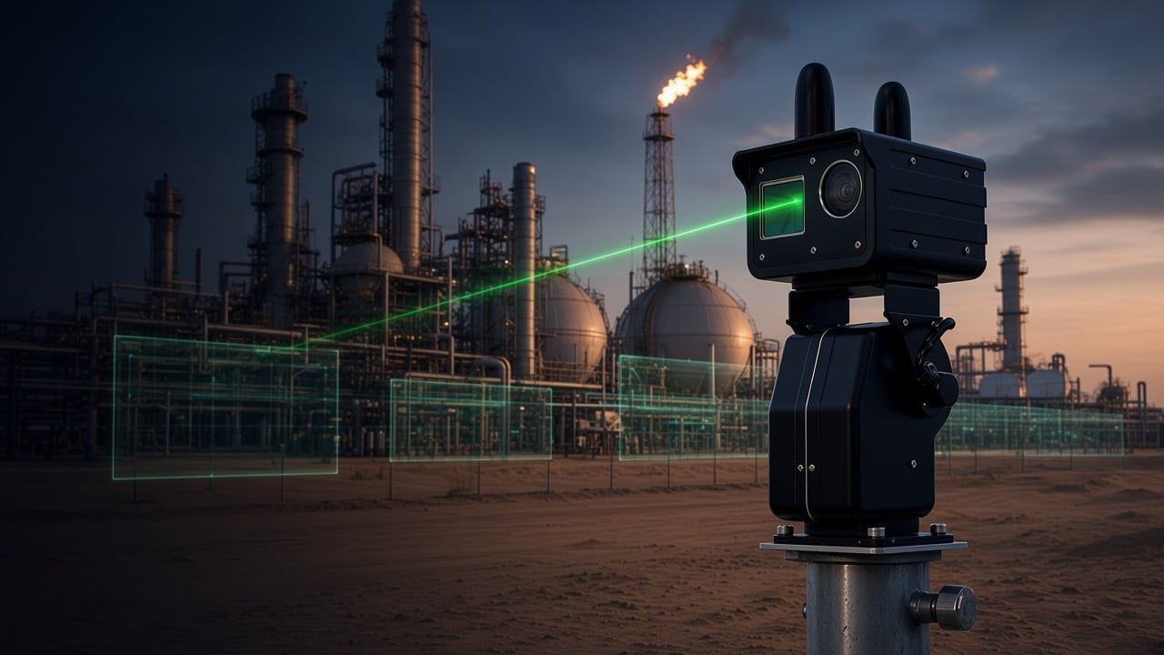
Oil and gas
Always-on LiDAR and AI over plants, pipeline corridors and hot work, with intrusion and change alerts.
Transport
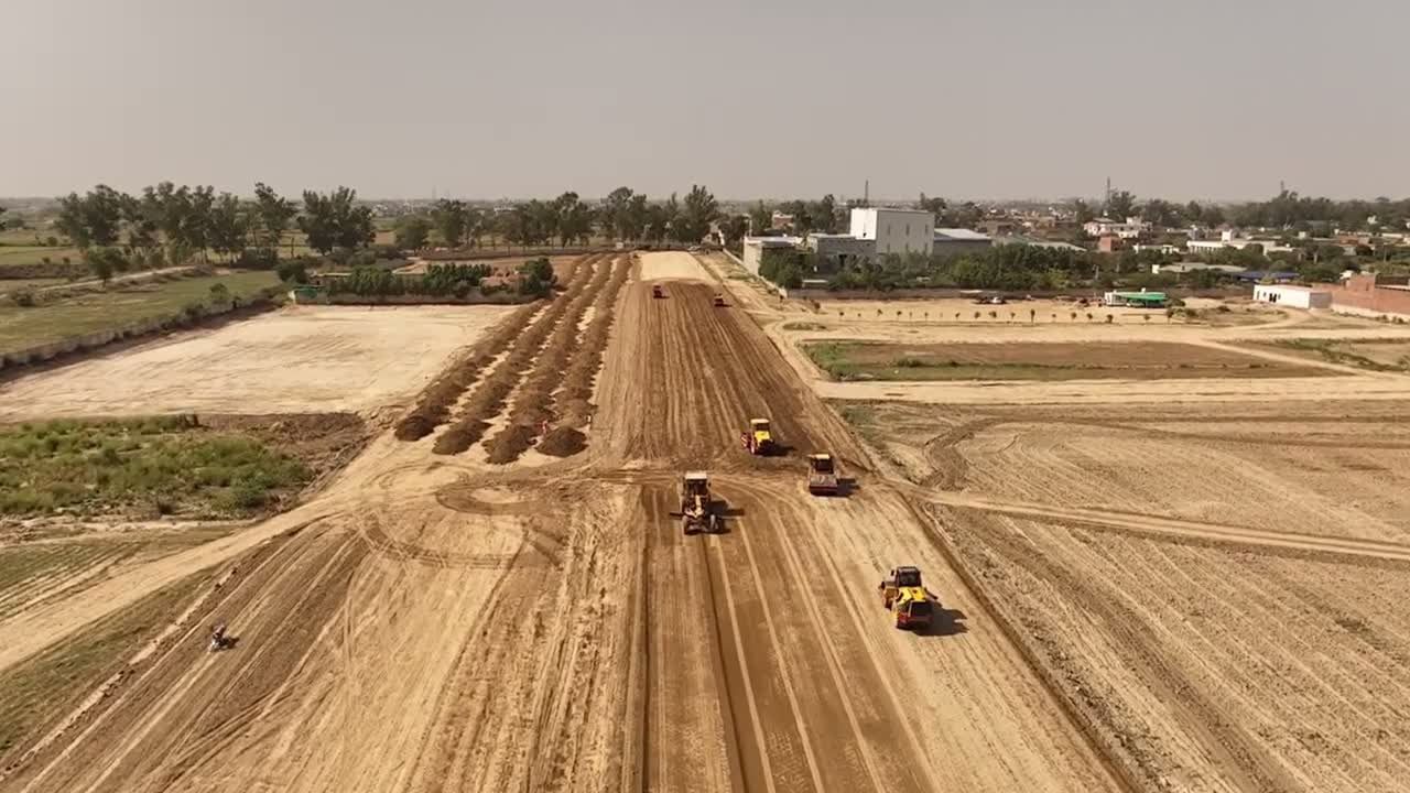
Rail and transport
Monitoring of rail corridors, vegetation and nearby slopes, with alerts tied to dated measurements.
Geotechnical
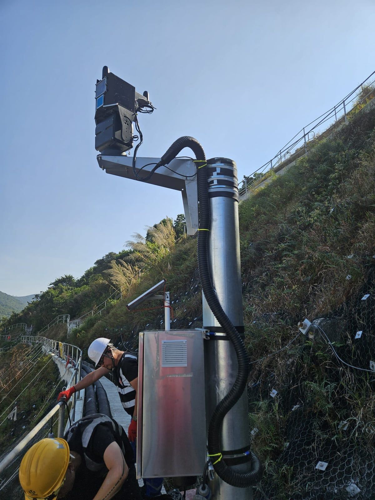
Slopes and environment
Slope gradient, flexible barrier, excavation volume and environmental monitoring, reported from one record.
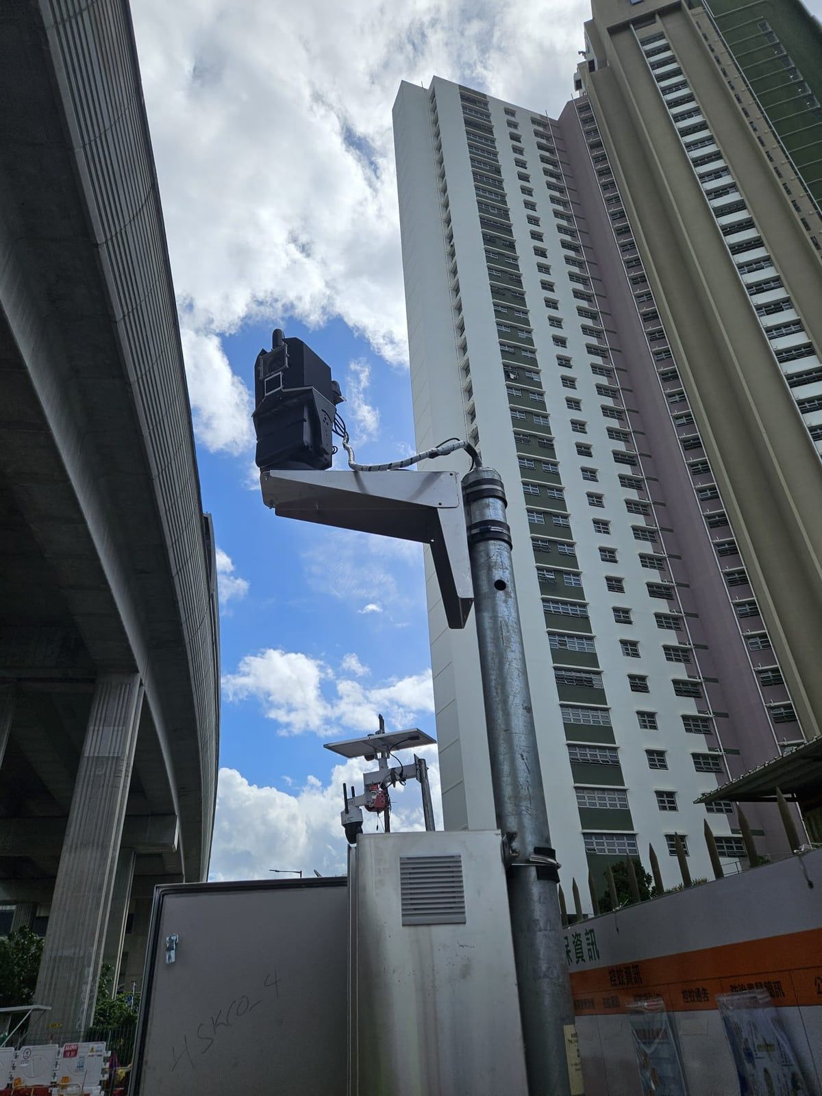
Urban
Urban management and public safety
Computer vision and drone mapping for street-level assets, signage and public estates.
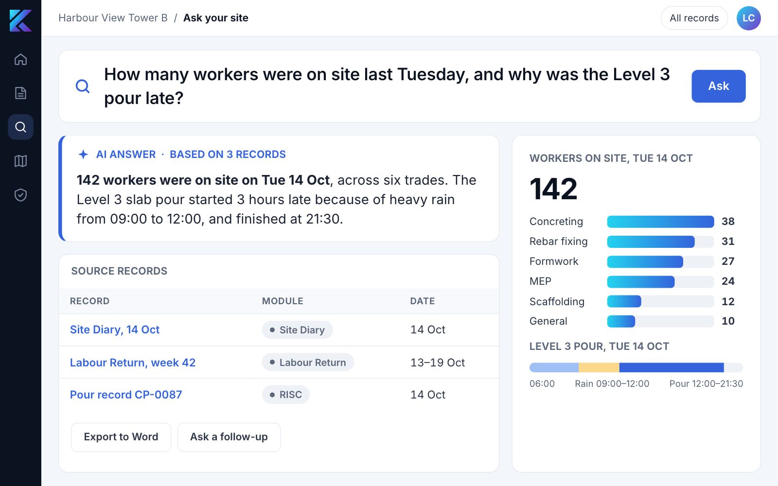
Government AI
Government AI
Ask your own records a question and get an answer linked to its sources, with reports drafted for your team to review.
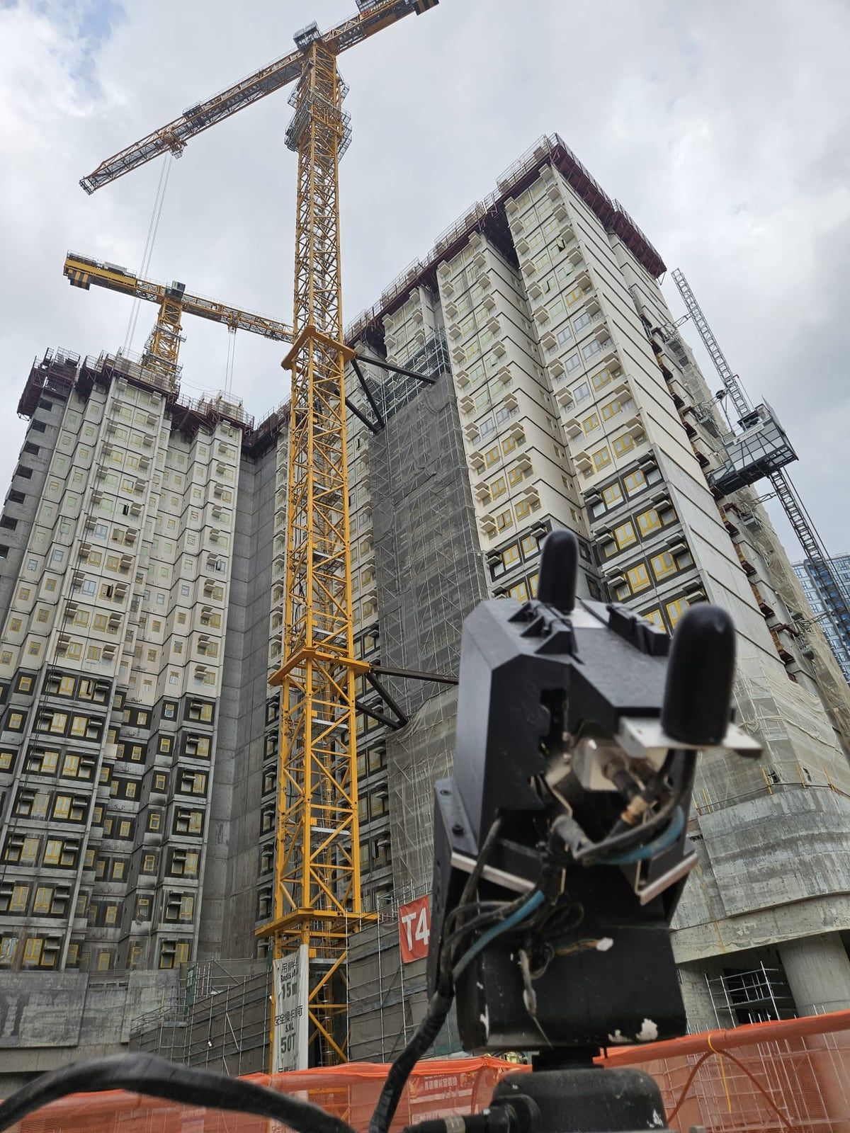
Works
Construction and works supervision
Digital supervision, site capture and safety records for public works, with each compliance requirement on its own page.
The capabilities behind every industry
Four building blocks, combined to fit each asset and each tender.
Public work we have delivered
Public works we have delivered for Hong Kong government departments, by scope.
| Department | Scope |
|---|---|
| ArchSD | SmartEye site hardware and software |
| ArchSD | Site dashboard |
| CEDD | Slope gradient monitoring software |
| CEDD | SmartEye site hardware and software |
| CEDD | Volume monitoring software |
| CEDD | Drone survey |
| DSD | SmartEye site hardware and software |
| DSD | Site dashboard |
| DSD | SmartEye site hardware |
| DSD | Environmental monitoring and excavation-volume software |
| EMSD | Fixed-point LiDAR |
| GEO | Flexible barrier monitoring |
Tell us the asset and what you need to prove
Describe the site, asset or tender. We will show how the same record applies to it.