News
Silver in Geneva for the slope monitor MTR developed with Kodifly
Published
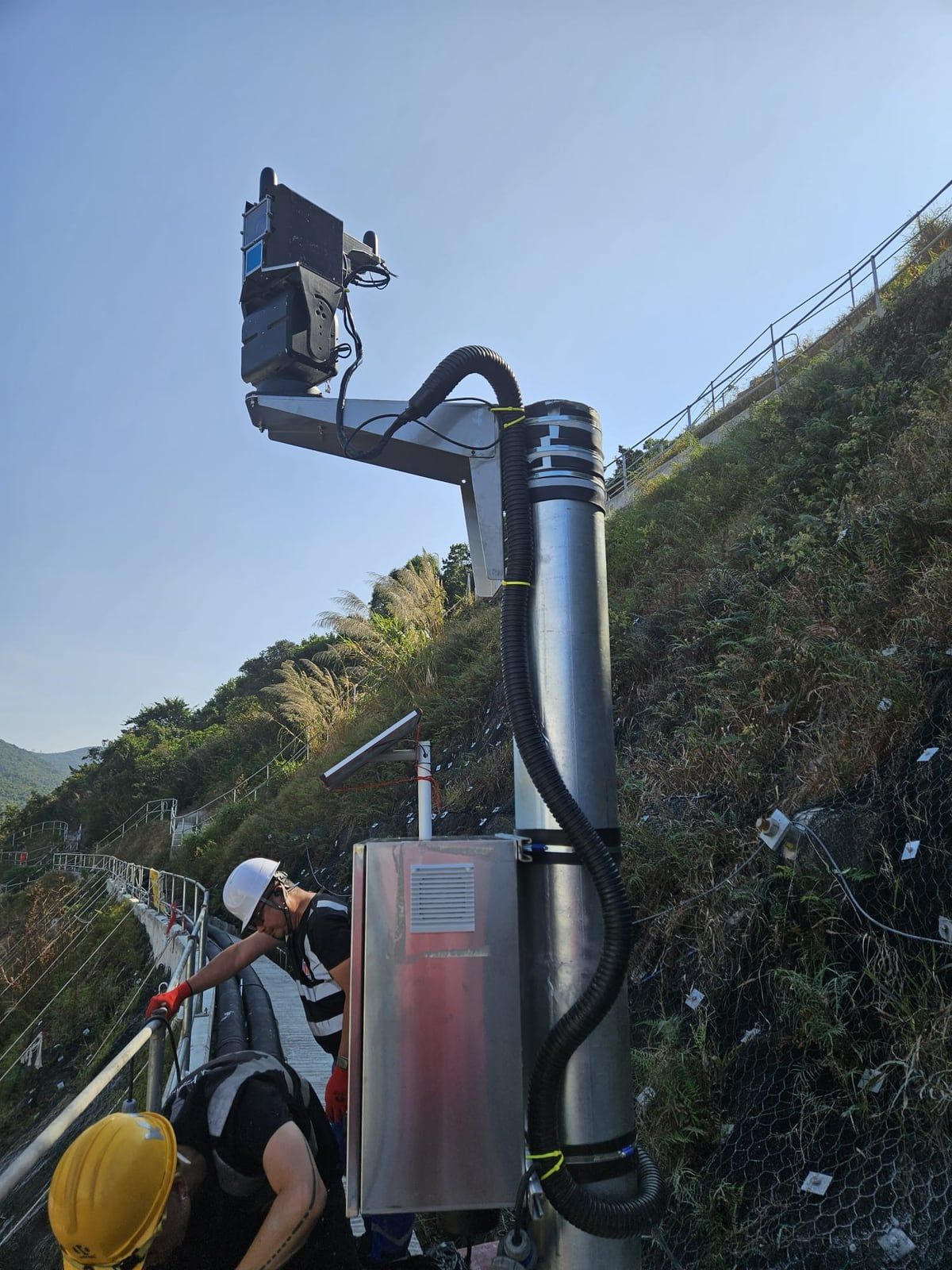
In April 2025, the International Exhibition of Inventions Geneva awarded a silver medal to MTR Corporation’s AI-Powered Slope Safety Monitoring System. The press release of 13 April 2025 names Kodifly Limited as the external partner on the project.
Monitoring slopes with LiDAR and CCTV
According to the press release, the system uses LiDAR sensors and closed-circuit television to monitor how slopes near the railway move, detect changes in the ground, flag potential risks promptly and arrange maintenance.
LiDAR measures distance. Successive scans can show when the shape of a slope has changed. A camera records how the same slope looks. The two records let an engineering team see a measured change and check it against the picture.
Recognition in Geneva
The 50th International Exhibition of Inventions Geneva ran from 9 to 13 April 2025. It drew entries from more than 40 countries and regions, and more than a thousand inventions. Nearly 300 of them came from Hong Kong.
MTR Corporation received 15 awards: three gold medals with the congratulations of the jury, four gold medals, seven silver medals and one bronze medal. An international panel of experts selected the winners. The slope monitoring system was one of the seven silver medals.
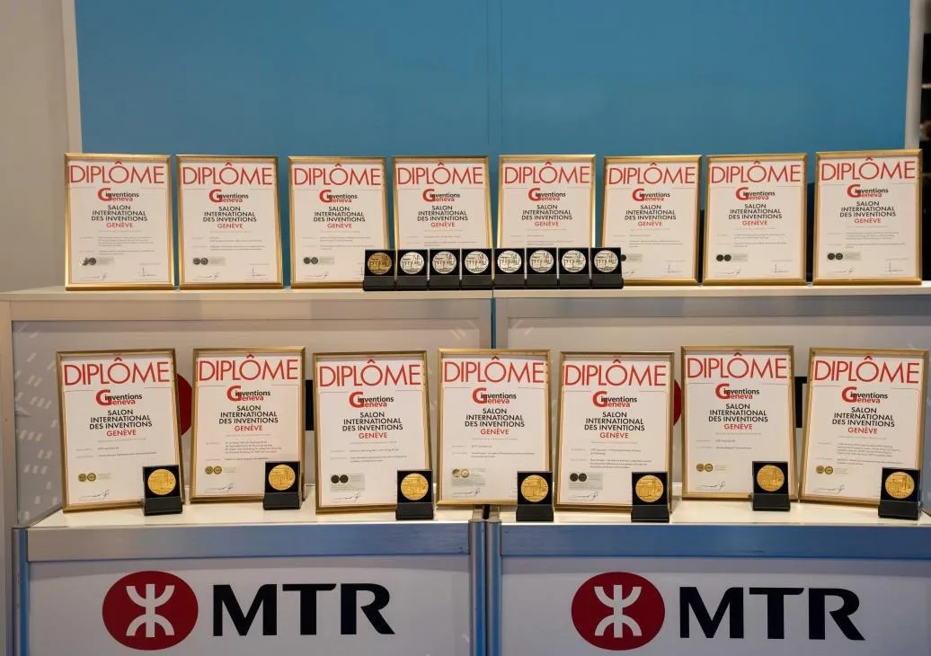 Diplomas and medals awarded to MTR Corporation at the exhibition. Photo: MTR Corporation.
The press release states that MTR Corporation works with government, research organisations, universities and enterprises on its Smart Railway programme. Several of the award-winning projects name an external partner.
Kodifly’s approach to slope monitoring
The medal recognises work developed with MTR Corporation. Kodifly’s slope monitoring, in general, follows a set routine:
- A fixed LiDAR unit, with a camera, watches the slope day and night.
- Each scan is compared with the previous scan, and the change is logged with its date.
- When the change crosses a threshold, the responsible team receives an alert tied to the measurement.
The result is a dated record. The team can see what changed, and when, without waiting for the next inspection. The hardware is described on the ScanStation page. The industry pages explain how the approach applies to slopes and the environment and to rail and transport corridors.
Our continued commitment
Kodifly is honoured to have supported MTR Corporation on a safety system built on geospatial measurement and continuous monitoring.
Organisations that look after a rail corridor, a road or a hillside can see how a dated record would work for that asset. Talk to us.